Rocca Santo Stefano
In the province of Rome, Lazio · 664 m above sea level · population 902
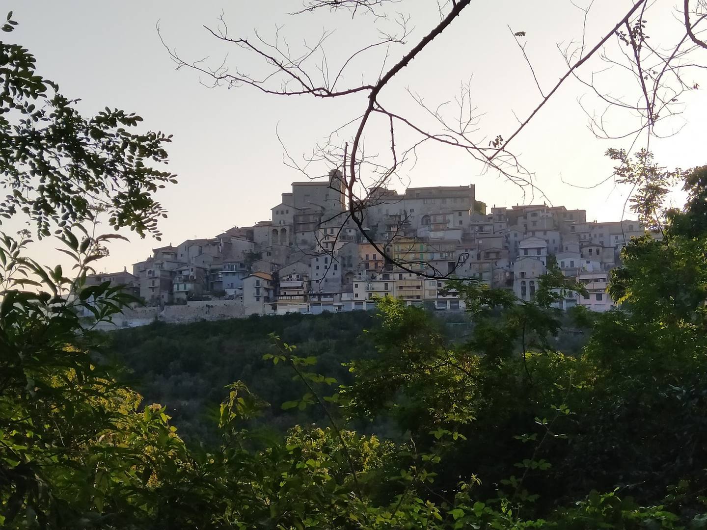
Rocca Santo Stefano is a comune (municipality) in the Metropolitan City of Rome in the Italian region of Latium, located about 45 kilometres (28 mi) east of Rome.
Text from the Wikipedia article «Rocca Santo Stefano», licence CC BY-SA 4.0
Getting there
By car
58.1 km, about 1h 2min, from Rome Termini station by road.
By bus
COTRAL, the regional bus company. Bus stop: Viale Pini, in the centre. 16 buses call at this stop on a Saturday.
Direct buses from Rome
Saturday (timetable for 17 October 2026)
There
- 06:45 from Anagnina (Metro A), arrives 08:22
- 07:30 from Anagnina (Metro A), arrives 08:57
- 09:45 from Anagnina (Metro A), arrives 11:39
Back
- 14:40, reaches Ponte Mammolo (Metro B) at 16:09
- 17:30, reaches Anagnina (Metro A) at 18:55
- 20:25, reaches Graniti (Metro C) at 21:42
Sunday (timetable for 18 October 2026)
There
no direct bus
Back
- 13:10, reaches Graniti (Metro C) at 14:33
- 15:10, reaches Graniti (Metro C) at 16:33
- 17:10, reaches Graniti (Metro C) at 18:33
- 19:10, reaches Graniti (Metro C) at 20:33
Monday to Friday (timetable for 14 October 2026)
There
- 06:55 from Anagnina (Metro A), arrives 08:26
- 07:30 from Anagnina (Metro A), arrives 09:32
- 09:45 from Anagnina (Metro A), arrives 11:43
Back
- 14:25, reaches Anagnina (Metro A) at 16:12
- 14:55, reaches Ponte Mammolo (Metro B) at 16:46
COTRAL timetable valid until 8 November 2026. Check the journey on the COTRAL website before you set off.
By train
Nearest station: Roviano, 13.2 km from the centre.
What to see
ROCCA SANTO STEFANO
castle
Bosco di Antera
point of interest
Opening hours: Mon–Sun open 24 hoursopen in Google Maps ↗
Chiesa di San Sebastiano
church
Chiesa di S. Stefano
church
Opening hours in small towns change often: check before you go.